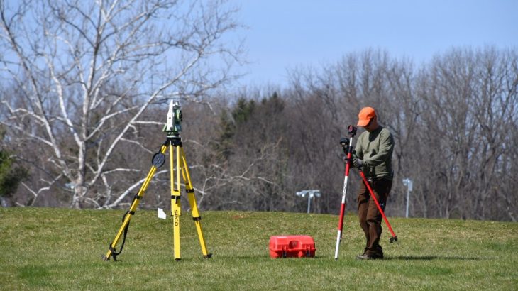
In the realm of modern surveying techniques, laser scan surveying emerges as a groundbreaking tool, redefining precision and efficiency. This advanced method employs laser light to collect incredibly detailed and accurate data, revolutionizing various industries. Here’s a deep dive into why opting for laser scan surveying is a game-changer in today’s landscape.
Unmatched Precision and Accuracy
Laser scan surveying operates on a meticulous principle, capturing precise measurements and intricate details with unprecedented accuracy. The laser scanner emits beams of light that bounce off surfaces and return, allowing for the creation of highly detailed 3D models. This level of precision is unmatched by traditional surveying methods, offering an unparalleled view of the surveyed area or object.
Time and Cost Efficiency
One of the most compelling reasons to embrace laser scan surveying is its efficiency in both time and cost. Unlike conventional methods that require substantial fieldwork and time-consuming processes, laser scanning significantly reduces the time needed for data collection. The swift capture of extensive data sets translates into reduced labor costs and quicker project turnaround times.
Comprehensive Data Acquisition
The capability of laser scanning to gather comprehensive data sets is a game-changer for various industries. It provides an all-encompassing view, capturing not only surface dimensions but also intricate details such as texture, color, and even deformations. This breadth of data empowers engineers, architects, and other professionals to make more informed decisions.
Enhanced Safety and Accessibility
Laser scanning offers a non-intrusive and safe method of surveying, minimizing the need for human intervention in hazardous or inaccessible areas. Surveyors can obtain data from remote or challenging environments without risking safety. This feature is particularly beneficial in industries such as mining, construction, and archaeological studies.
Optimized Project Planning and Design
The highly detailed 3D models generated through laser scan surveying facilitate optimized project planning and design. Engineers and architects can visualize the scanned area or structure with remarkable accuracy, identifying potential challenges and opportunities early in the planning stages. This leads to more efficient designs and smoother project execution.
Versatility in Various Industries
The versatility of laser scan surveying extends across a multitude of industries. From construction and architecture to heritage preservation, manufacturing, and forensic analysis, this technology has widespread applicability. Its ability to capture detailed data makes it an invaluable asset in diverse fields, driving innovation and problem-solving.
Future-Proofing Through Digital Documentation
The digital documentation created through laser scan surveying serves as a robust foundation for future projects. It preserves accurate records of structures, landscapes, or objects, allowing for easy access to historical data. This serves as a valuable resource for renovations, comparisons, or future expansions.
Environmental Consciousness and Sustainability
The efficiency and accuracy of laser scanning contribute to sustainable practices by minimizing resource wastage. The reduced need for repeated visits to the survey site, coupled with the precise data collection, aligns with sustainability goals in various industries. This minimized environmental impact is a crucial aspect in today’s conscientious world.
Elevating Quality Assurance and Maintenance
One advantage of laser scan surveying lies in its contribution to quality assurance and maintenance strategies. The detailed 3D models it produces serve as a foundation for ongoing assessments, facilitating predictive maintenance and risk analysis. By monitoring changes over time, professionals can detect potential issues early, preventing costly repairs or failures and ensuring long-term structural integrity.
Streamlined Collaboration and Communication
Another notable advantage of laser scan surveying is its facilitation of seamless collaboration and communication among project stakeholders. The highly detailed and accurate 3D models serve as a common reference point, allowing architects, engineers, and clients to visualize projects comprehensively. This aids in clearer communication, fostering better understanding and alignment throughout the project lifecycle.
In conclusion, the adoption of laser scan surveying heralds a new era in precision, efficiency, and innovation. Its ability to capture intricate details, streamline processes, enhance safety, and contribute to sustainability makes it an indispensable tool across a myriad of industries. As technology continues to advance, the significance and impact of laser scan surveying are poised to grow, shaping the landscape of surveying and data collection for years to come.
Looking for an expert to do your laser scan surveying? Check out Flat Out Surveying. They provide accurate and cost-effective surveying solutions for construction and engineering projects in greater Melbourne, regional Victoria and interstate.


