First Things First, What Is Laser Scan Survey?
Laser scan survey is a procedure used by experts to develop 3D maps and models. The laser scanning is helpful as it accurately measures and collects data about the environment, buildings and surfaces make it great.
The controlled deflection of laser beams helps technicians in the construction industry. Whether the laser is visible or not does not matter. It taking distance measurement of objects at different angles, on the other hand, is what makes it such a great tool. The combination of laser beams with a laser rangefinder also makes capturing the surfaces of objects and landscapes much more easy.
How Does Laser Scan Survey Work?
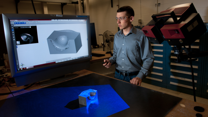
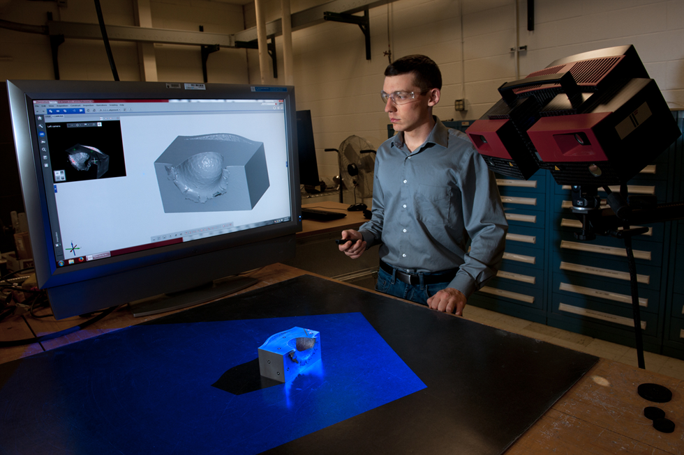
The laser scanning operates in a very specific way. Relying on advanced technology, laser scanning is able to create a 3D image of the interior and exterior of a building or a landscape. Unlike hand measuring, with a laser scanner, you are guaranteed an accurate measurement of an object.
The laser scanner essentially emits laser beams at rapid intervals while rotating constantly around its vertical axis. A mirror in the scanner spins rapidly to move the beam up and down. This leads to the beam sweeping over a wide area and capturing a column of data. Through this, the scanner is able to capture accurate measurements and measure distances.
In addition to measuring distances, there are other things that the scanner d to be able to create that 3D image. One of those things is measuring the corresponding horizontal angle of the rotating laser as well as the corresponding angle of the vertical moving mirror. It recording data this way is what makes it possible for you to get a detailed representation of the building, landscape or object in 3D. Add to that a built-in or external camera in the equation and you get a 3D image that has realistic texture and colour.
Where Are Laser Scanning Survey Used?
Laser scanning survey technology is not restricted to only one type of project. From privately funded projects to high-value government-backed projects, it is very likely they are being used. Their efficiency makes them quite an attractive tool. Some of the well-known applications of laser scanning include:
1. Spatial Scanning
Hand measuring is not only time consuming, but it also comes with a higher margin of error. This problem is magnified when it comes to spatial scanning and can lead to devastating consequences. This is why laser scan survey are quite often used here. They safeguard the project by cutting down the number of errors during the data collection process.
In addition to drastically reducing the margin of error, laser scanners improve the whole process by also reducing the time taken in the plotting and spatial scanning. This ability of theirs is the reason why researchers often prefer laser scanners to other technologies and use them for scanning the exterior and interior of buildings, mobile mapping and surveying.
2. Urban Topography
Urban topography is a term used to refer to the study of the form, layout and architectural history of towns. This process is essential for town planning as it gives developers the necessary information they need before initiating a project.
Using laser scanners, urban planners collect crucial data about the site and process these to create an accurate plan. This will enable the government and private authorities to plan accordingly and determine how they’ll go forward with the building project.
Other Areas Where 3D Laser Scanning Are Often used:
- For engineering and construction projects (Typically in the early design stages of a building project)
- Heritage buildings
- 3D printing of site models
- Rights of Light reports
- Bridges, roads, tunnels, quarries and railways
- Detailed elevation surveys
- They are used to provide accurate estimates in the bidding process.
- Scans after the construction project is completed.
- Building Information Modelling (BIM)
- Measured building surveys
- MEP surveys
- Civil surveying
- Reverse engineering
- Mining
- To monitor land deformation
- Archaeological sites
- Investigate accident sites
The Pros of Using Laser Scan Surveying
- Unlike hand measurement, with laser scan survey you have the guarantee that every necessary information has been collected. The great thing about this is that you don’t have to worry about going back on-site to confirm you’ve got the right measurement o to integrate new measurement in your plan.
- It saves a considerable amount of time. Not only do you not have to wait several days to get the correct measurement, but the process of being on-site to take the measurement is in and of itself simplified. Since capturing data is 10 times faster than conventional methods, the time spent on data collection is significantly reduced.
- Finally, the fact that you don’t need a whole team of people on-site to collect data you end up using only a limited number of resources at this stage.
Hence, laser scan surveying not only allows you to save time but also lowers your cost. You would be hardpressed to find a better solution!


